
Geography Awareness Week 2026 (United States)
Monday 16 November to Friday 20 November 2026
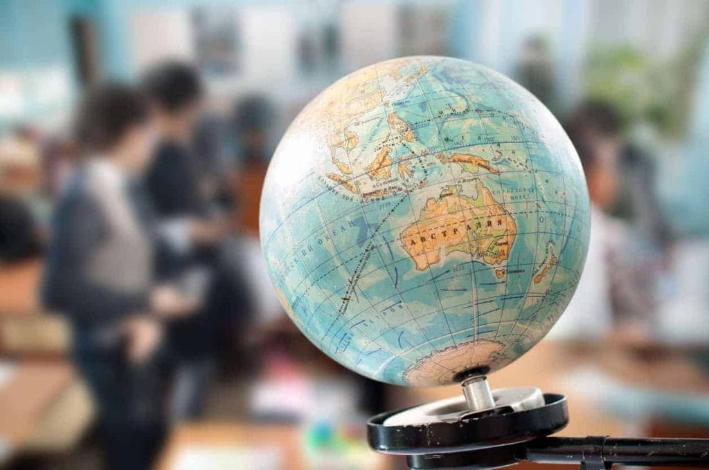
This is a US public-awareness initiative, with opportunities for people elsewhere to explore geographic questions too. Geography involves understanding places, patterns and relationships, as well as learning how to read and make maps.
Add this date to my calendarA full year of awareness dates, ready to edit, print or sync.
Get the full 2027 school calendar£39 a year. Renews annually.
On this page
Dates and event details
Monday 16 November to Friday 20 November 2026. Held dates set by the organiser each year.
| Date status | Date source-confirmed for 2026 |
|---|---|
| Date-check source | American Association of Geographers 2026 |
| Where | United States / international participation |
About Geography Awareness Week (United States)
This is a US public-awareness initiative, with opportunities for people elsewhere to explore geographic questions too. Geography involves understanding places, patterns and relationships, as well as learning how to read and make maps.
This year's campaign
Geography Awareness Week 2026 runs from Monday 16 to Friday 20 November in the American Association of Geographers’ programme. The 2026 theme is Mapping the Future.
What does Mapping the Future mean?
A map can help someone examine a question about a place: where services are located, how a landscape has changed or which areas a particular dataset covers. The theme invites people to consider how geographic evidence can inform thinking about change.
It is also a reason to ask what a map leaves out. A useful learning activity looks at the source, date and purpose of the information rather than treating every coloured area or boundary as a complete explanation.
A confirmed National Geographic event
National Geographic lists Mapping the Mystery of Missing Water for Thursday 19 November 2026, with sessions at 10am or 2pm Eastern Time.
The free Explorer Classroom event is aimed at grades 3–8, approximately ages 8–14, and features Explorer Plinio Guzman using maps to investigate water in Mexico’s Cuatro Ciénegas basin. Check the official listing for registration, current arrangements and the time in your own location.
Try a local mapping activity
Choose a question that can be explored without collecting personal information. For example: which public spaces appear on a local map, or how do two maps describe the same area?
- Define the question: keep it small enough to investigate in one session.
- Compare sources: note who produced each map and when it was updated.
- Look for a pattern: describe what the information shows before proposing an explanation.
- Identify a limitation: say which missing information could affect your conclusion.
- Share the evidence: make a short caption naming the source and the question explored.
A paper map and published information can be enough. There is no need to record students’ homes, personal journeys or other private locations to make the exercise meaningful.
Keep the learning going
Ask participants which question they would investigate next and what additional evidence they would need. That follow-up can turn a one-week activity into a useful habit of checking sources and asking how places are connected.
Resources for educators
National Geographic’s Mapping Your State resource provides another classroom starting point. UK and other non-US teachers can adapt the geographic questions to their own area while keeping the source’s original context clear.
The AAG campaign page also introduces the discipline and its themes. Follow the individual organiser for any session’s booking requirements; a national awareness week is not a single event with one registration.